
Brunnsteig
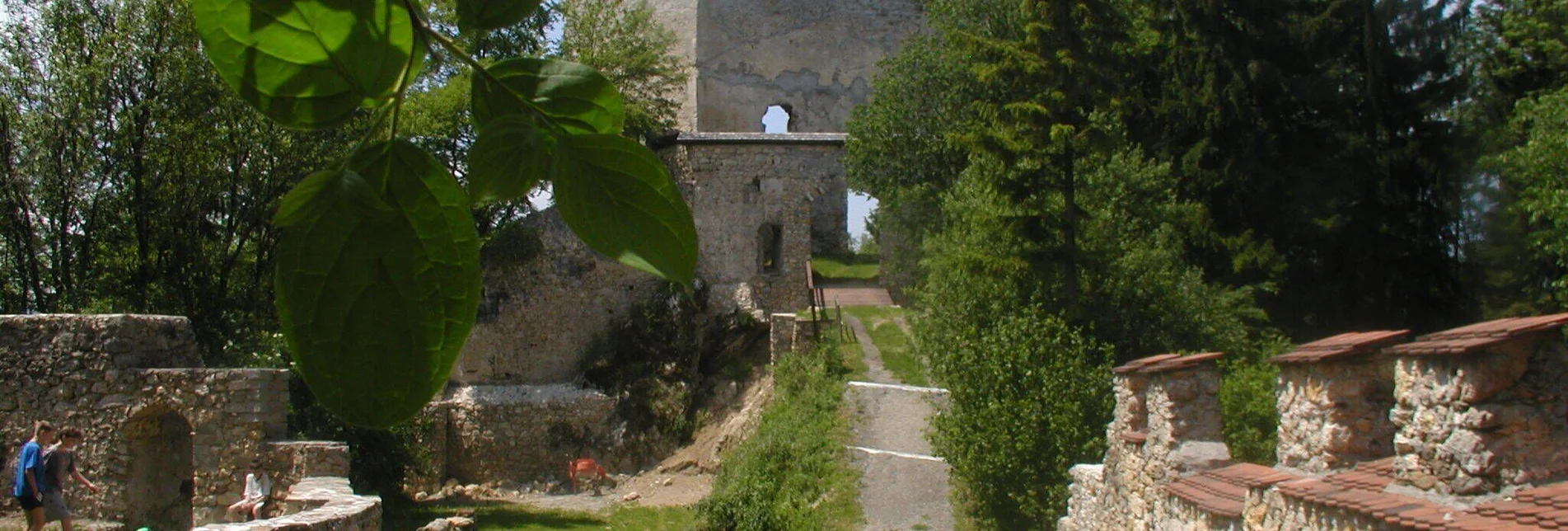
The Brunnsteig is one of the more challenging hiking trails in Langenwang due to its steep ascent. It gets its name from a former water pipeline that once supplied Hohenwang Castle with drinking water.
The hike along the Brunnsteig passes southwest of Sulzkogel and Hirschkopf. Along the way, hikers pass the Wetterkreuz before continuing either to Almbauer or further via Hauereck to Alpl.
Characteristics
Best season
January
February
March
April
May
June
July
August
September
October
November
December
The tour in numbers
medium
Level of difficulty
16,9 km
Route
7:00 h
Time
1079 hm
Uphill
626 hm
Downhill
1326 m
Highest point
Map & downloads
More information
S6 Semmering Expressway – Exit Langenwang.
We start our hike at the Municipal Office or the Volkshaus Langenwang. Following Hochschlossstraße, we pass under the highway and head towards the Hohenwang castle ruins.
After crossing a meadow, we reach a trail that ascends moderately to the Althohenwang castle ruins. From here, the path continues steadily uphill, reaching its highest point at the Wetterkreuz.
The final stretch leads to the Almbauer, where hikers have the option to take a break. Those who wish to extend the hike can continue to the Hauereck Schutzhütte or further to Alpl.
Take the train to Langenwang station and continue on foot to the town center of Langenwang.
Free parking is available in the town center of Langenwang. For this hike, the parking lot at the Municipal Office or the Volkshaus is ideal.


